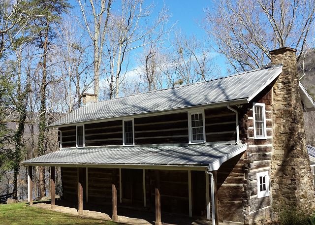
pot point cabin
Pot Point Cabin was originally constructed in 1835 of hand-hewn logs and planks reclaimed from a flat boat that wrecked on the "Boiling Pot," a nearby rapid in the Tennessee River.
Rentals
The Trust has contracted with Chattanooga Vacation Rentals to manage the booking of Pot Point Cabin. To book the cabin, click here or call 423-641-1895.
History of the Cabin
The original portion of the cabin
The Pot Point Cabin was originally constructed in 1835 of hand-hewn logs and planks reclaimed from a flat boat that wrecked on the "Boiling Pot," a nearby rapid in the Tennessee River.
The Tennessee River Gorge Trust purchased the cabin and surrounding land in 1991 and renovations were underway by 1993. A considerable portion of the cabin was left untouched during the renovation to maintain its historic nature. The original section of the cabin includes the two main rooms on the lower level, the dogtrot, and the shell of the second level. An extension was later added which includes a large meeting room, modern kitchen, a handicap accessible restroom, and two decks that overlook the Tennessee River.
Driving Directions
Address: 17805 River Canyon Road Chattanooga, TN 37405
From Downtown Chattanooga:
Take U.S. 27 North toward Signal Mountain. Take the Signal Mountain exit for U.S. 127 North. Proceed toward Signal Mountain.
At the base of Signal Mountain, at the intersection of U.S. 127 North and Highway 27 West, turn left onto Highway 27 (Suck Creek Road).
Proceed exactly 4 miles. Just beyond "The Little Store" on your left, you will cross a bridge over Suck Creek. At the end of the bridge, take a sharp left onto River Canyon Road which runs parallel to the river (the street sign is missing). If you begin going up the mountain after the Suck Creek bridge, you have missed your turn.
Proceed exactly 4 miles to Pot Point Cabin. It is a two-story cabin on the left. You will see a large wooden sign on your right. Please drive up the gravel driveway on your immediate right then turn again into the parking lot. Parking is limited at the cabin.
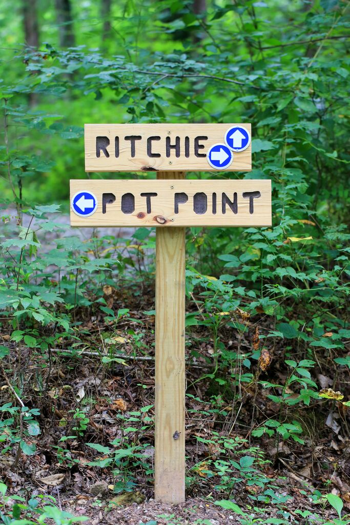
The cabin’s front door is only steps away from the Pot Point Nature Loop and Ritchie Hollow hiking trails!
Pot Point Nature Trail
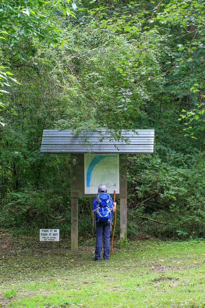
The Pot Point Nature Trail is a moderately strenuous, 4.1 mile loop trail featuring a mixed hardwood mature forest and reaches over 1,000 feet in altitude around Azalea Point. The trail crosses the road and follows the Tennessee River, winding through a butterfly garden and boasts beautiful views of the river.
Ritchie Hollow Trail
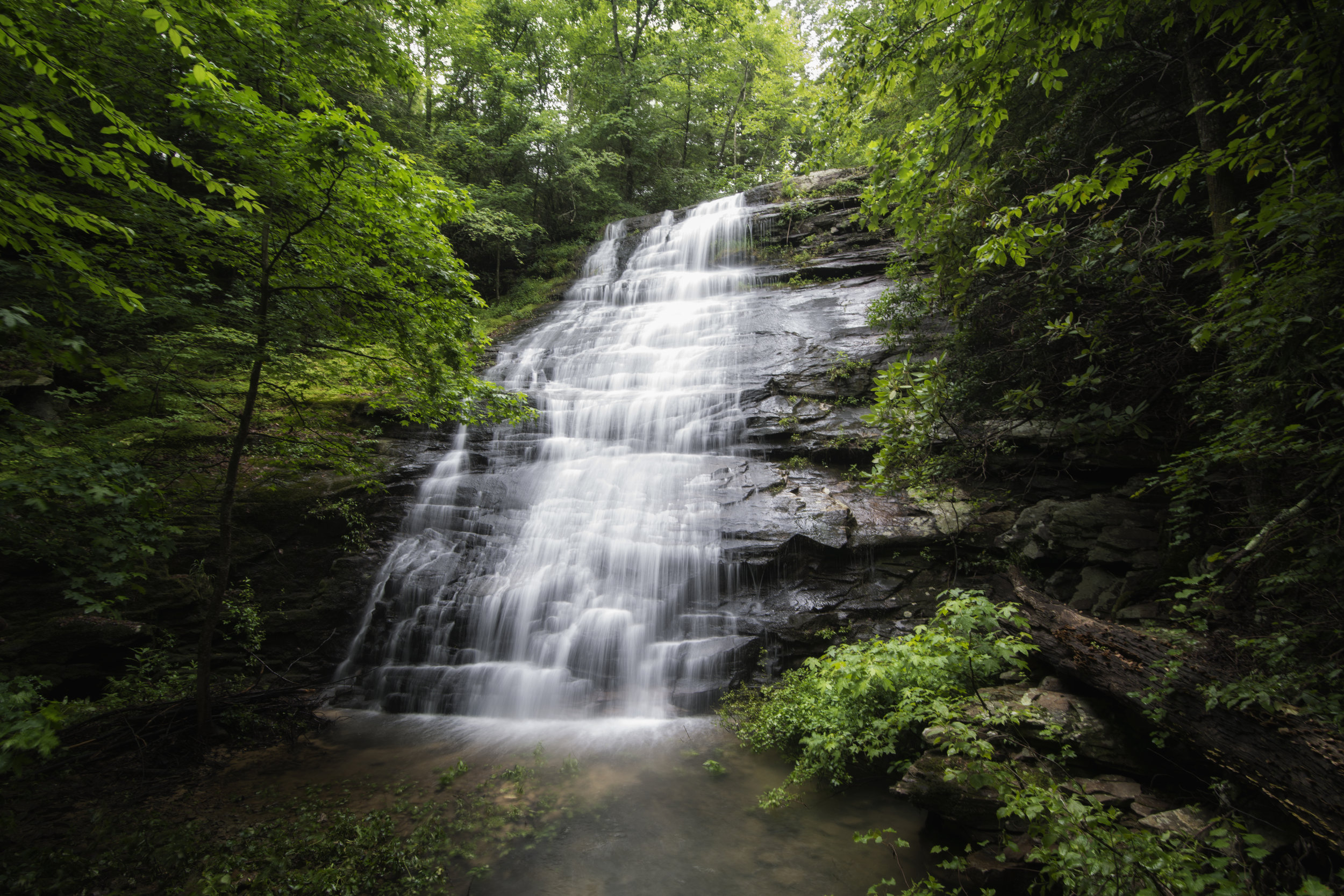
The Ritchie Hollow Trail is moderately strenuous and 2.7 miles one way (5.4 miles round trip), with over 1,200 feet of elevation gain. The trail passes a beautiful 30-foot waterfall called Blowing Wind Falls. The unique trail meanders through a mature hardwood forest and passes many historic moonshine stills. It is one of only a few trails that connect the Tennessee River with the Cumberland Trail system at the top of the mountain (more specifically, the Pot Point Loop Trail).

Pot Point Camping
Camping is also available just downstream of the cabin. Visit the Camping page for more information.
